Prepared and posted by: Dr. Don Stierman
Geophysical method: Electromagnetic conductivity
Survey conducted: February, 2004
Participants: Dr. Don Stierman, Amy Wilt, Tricia Gallant
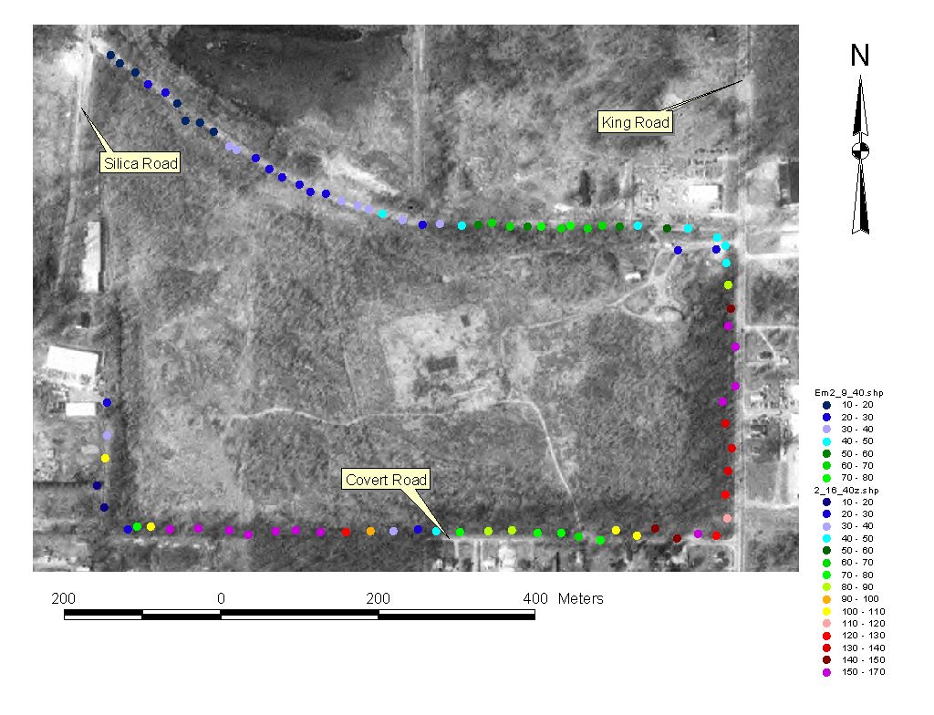
Ground conductivity measured with EM34 (40-meter vertical dipole) in milliSiemens/meter. Low values northwest of the landfill probably reflect shallow carbonate bedrock. The pattern north of the landfill is similar to that observed during reconnaissance in autumn of 2003. The increase in conductivity from west to east north of the landfill may reflect increasing depth to bedrock. Very high conductivity values south of the landfill may indicate leachate in the subsurface.
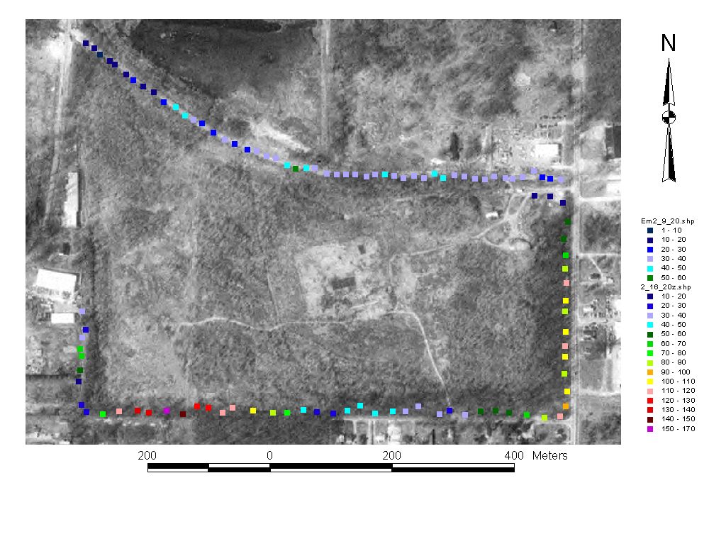
20-meter vertical dipole measurements of ground conductivity, same view as other image but the 20-m configuration measures electrical properties of materials nearer the surface than the 40-m dipole values shown in the other image.
April 29, 2004
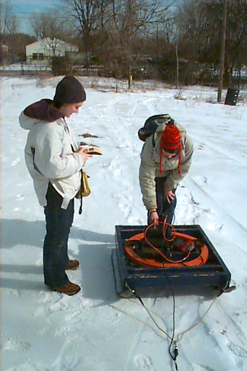 Tricia
records a GPS location while Amy records an EM34 conductivity reading in the
data logger.
Tricia
records a GPS location while Amy records an EM34 conductivity reading in the
data logger.
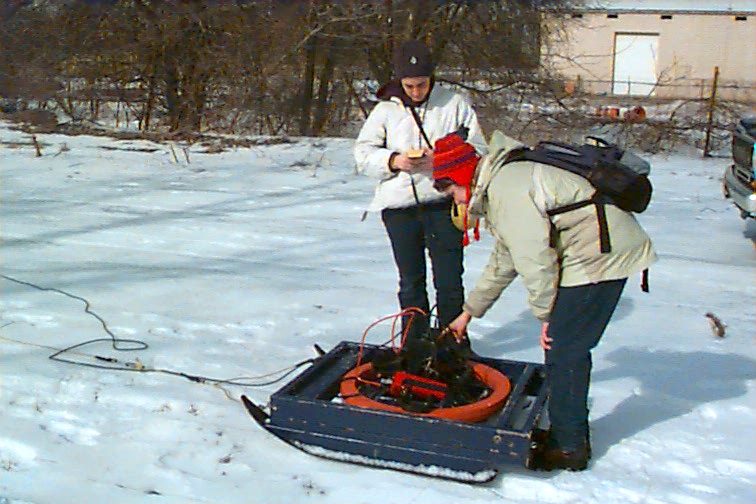
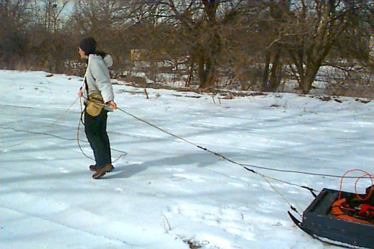
EM transmitter and EM receiver are towed on sleds separated by the appropriate length of rope (20 or 40 meters), with the whole array pulled over the snow.