The San Andreas Fault
The San Andreas fault is nicely exposed in a highway cut west of Palmdale, California. One major gouge zone, as wide as an 18-wheeler is long, consists of black clay-like material in the center of this photo (photo taken in March, 2005).
Check out a report on human remains discovered in rocks deformed by the San Andreas fault.
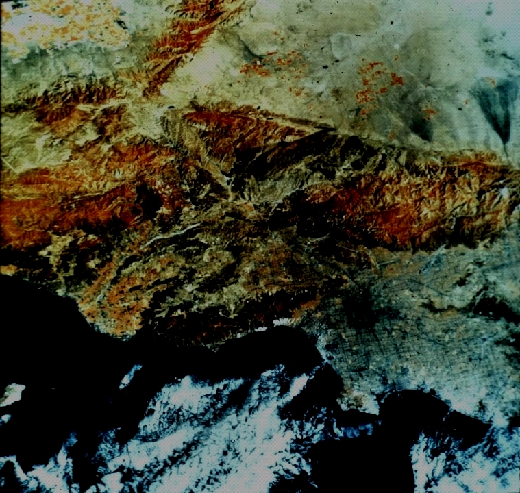 In
this satellite view, the San Andreas fault can be traced from the right edge of
the image (about 35% from the top) separating tree-covered mountains (red in the
false-color IR scan) from light desert sands. The large gray land in the
lower right is the Los Angeles metropolitan area. The Pacific Ocean and
other large bodies of water appear jet black. Clouds are white.
In
this satellite view, the San Andreas fault can be traced from the right edge of
the image (about 35% from the top) separating tree-covered mountains (red in the
false-color IR scan) from light desert sands. The large gray land in the
lower right is the Los Angeles metropolitan area. The Pacific Ocean and
other large bodies of water appear jet black. Clouds are white.
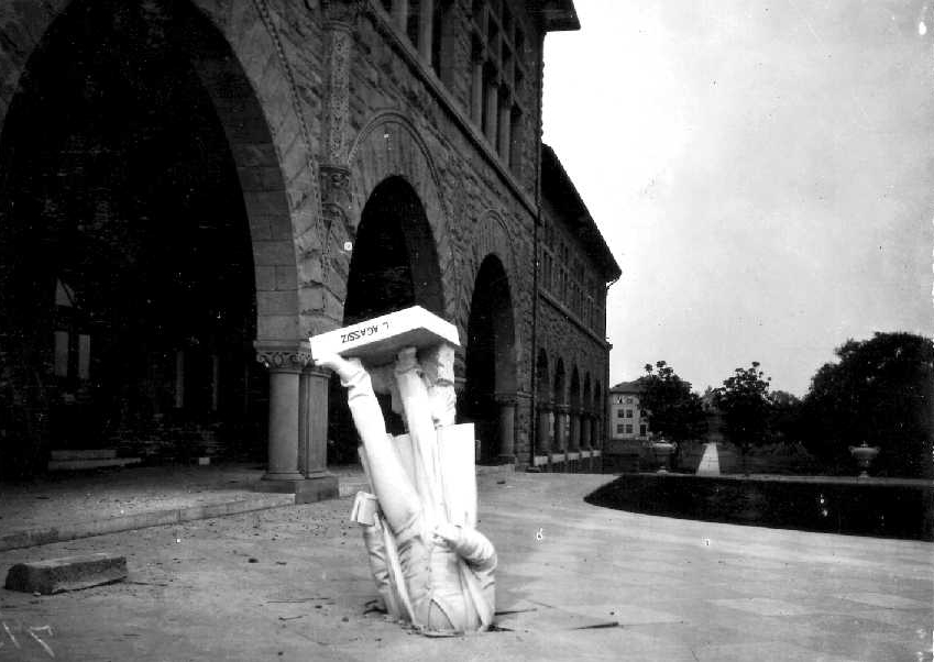
The 1906 earthquake toppled this statue of a noted scientist at Stanford University. This photo has become the icon representing the attitude of most elected officials when it comes to recognition and preparing for earthquake hazards.
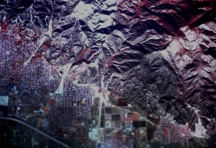
Aerial photograph of San Bernardino, California circa 1975. Linear features running from the upper left to the center right are traces of the San Andreas fault. This traces are obscured by new construction.
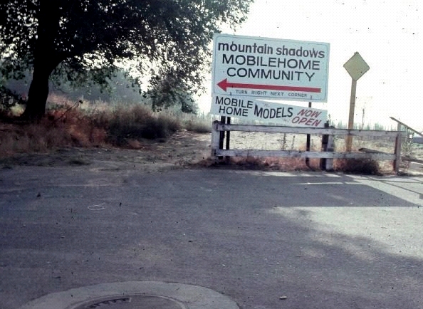
Life on the edge of a tectonic plate lends new significance to the term "mobile home community."
San Bernardino's motto was formerly "City on the move." I wonder if seismologists' finding this interesting (the San Jacinto fault also cuts through the city - through the Geology Building at Cal State San Bernardino, in fact) had anything to do with their adapting a new motto.
The homes we took "before" (before the San Andreas breaks) pictures of are no longer there, they were destroyed in a wildfire about 2003 or 2004.