Kitty Todd GPR Survey 1
Prepared and posted by: Dr. Don Stierman
Geophysical method: Ground-penetrating radar
Survey conducted: March, 2004
Participants: Dr. David Krantz, Dr. Tim Fisher, Dr. Harry Jol, Amber, Kelly, Abby & Dr. Don Stierman.
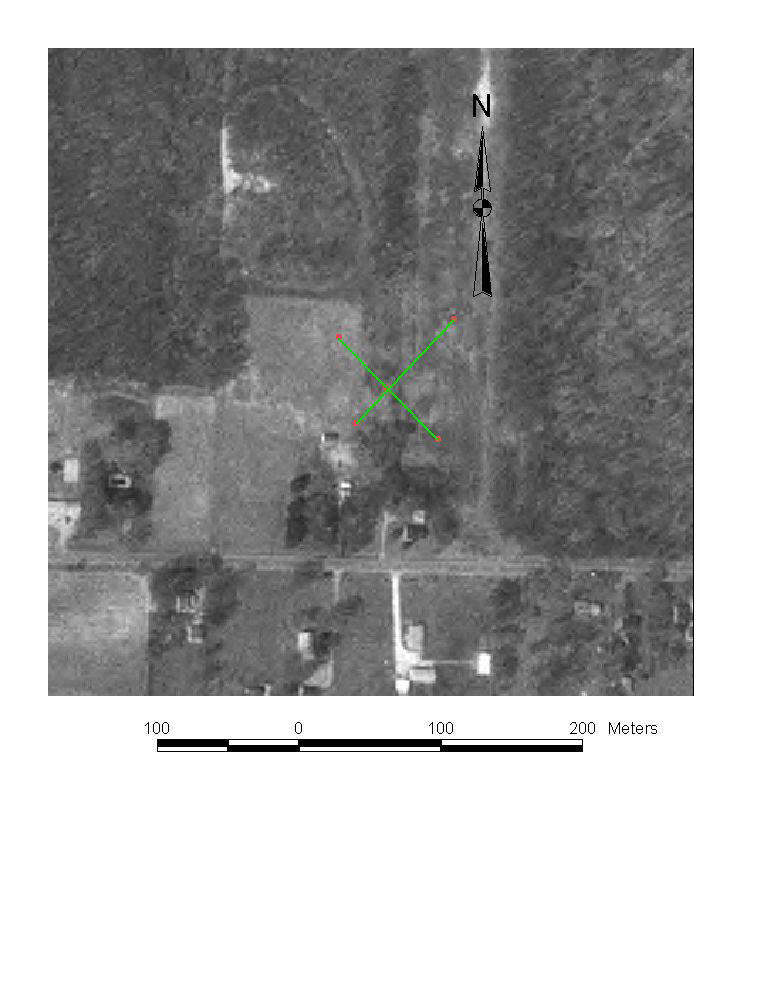
Location map. My GPS was misbehaving (we haven't a clue what was going on, it worked properly during more recent field trips) and the green lines, constructed based on GPS, are clearly not where we did this work. The red lines show the approximate profile locations, based on obvious cultural features.
![]()
Impressive!! SE-dipping reflectors are probably old beach faces. This is the dip profile. No one have ever seen this perspective of the Oak Openings sand belt - until now!
![]()
Strike profile. Reflectors appear horizontal when you move parallel to strike.
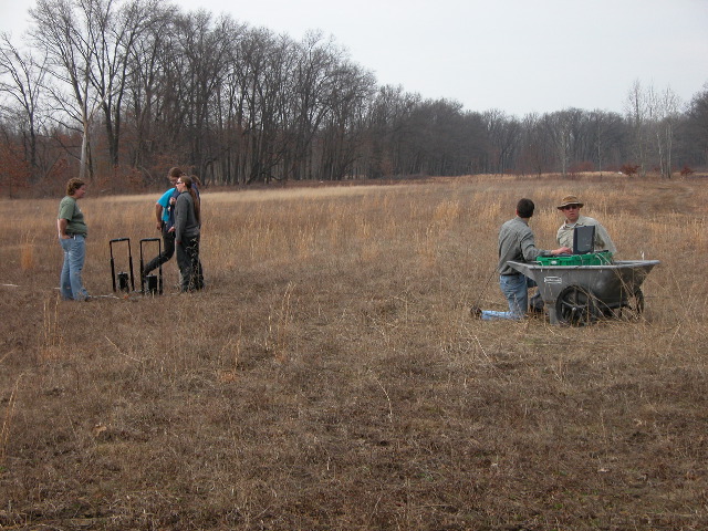
Setting up. Abby and Kelly stand near antennas while Drs. Krantz and Jol get the laptop and electronic in the plastic cart up and running.
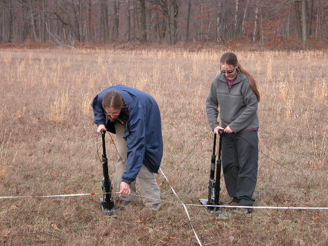 Amber
and Kelley operate the transmitter and receiver. 1-meter antenna spacing,
0.25 meter measurement interval.
Amber
and Kelley operate the transmitter and receiver. 1-meter antenna spacing,
0.25 meter measurement interval.
Updated 04/30/2004