

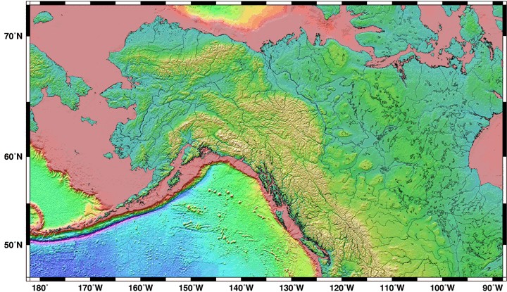
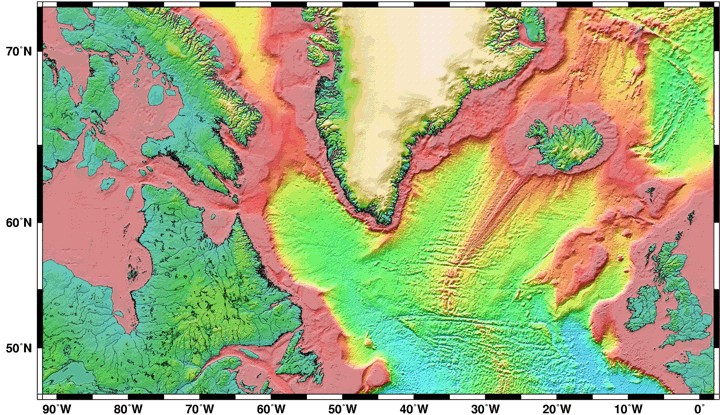
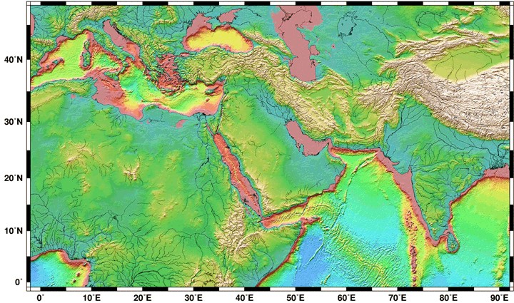
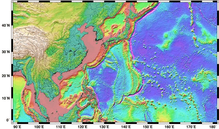
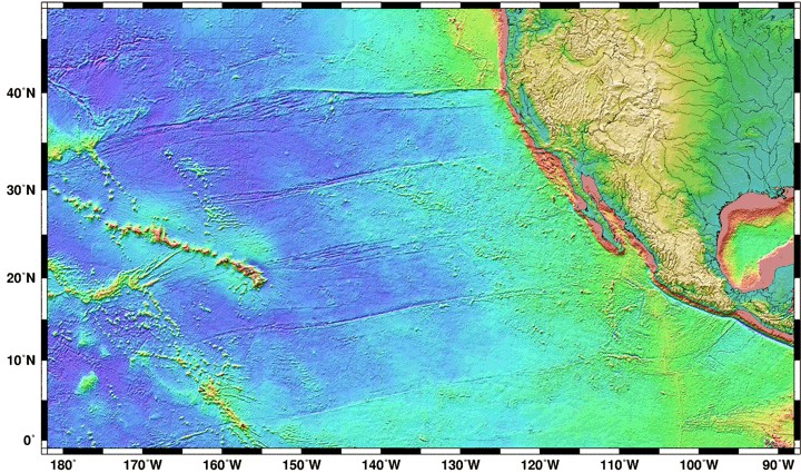

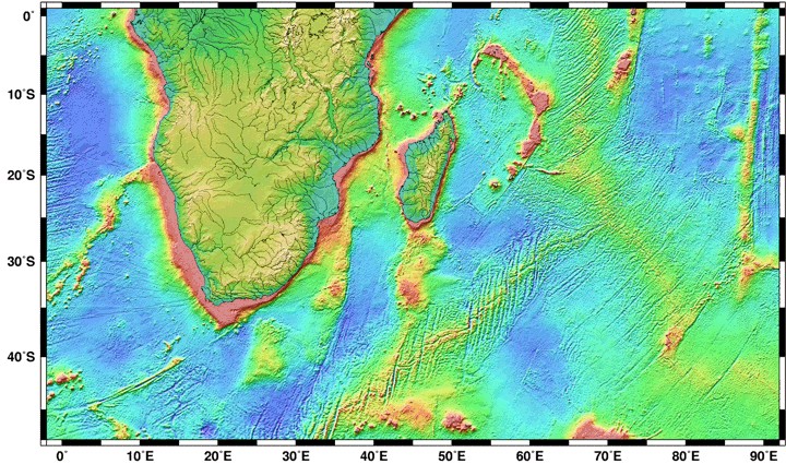
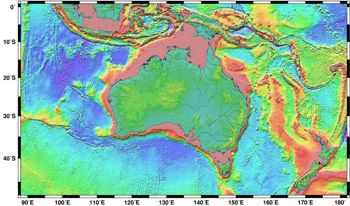
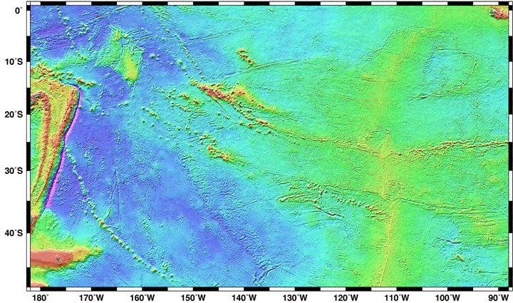
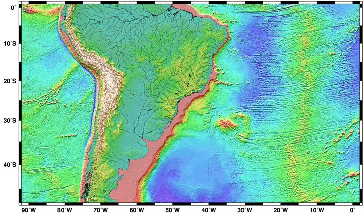
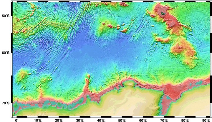
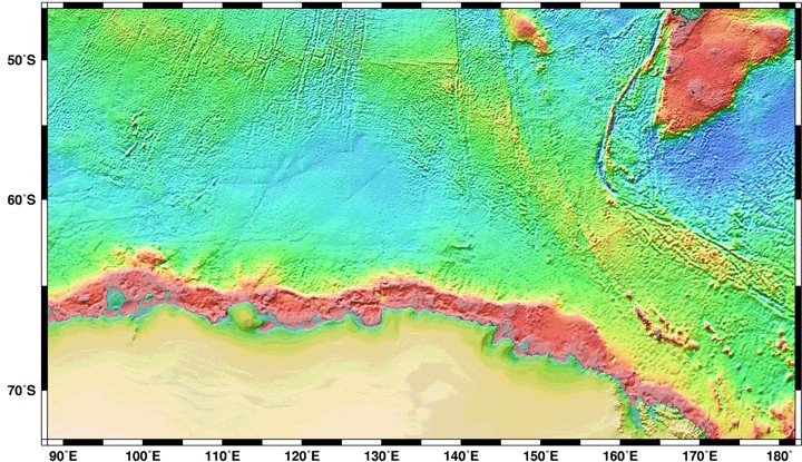

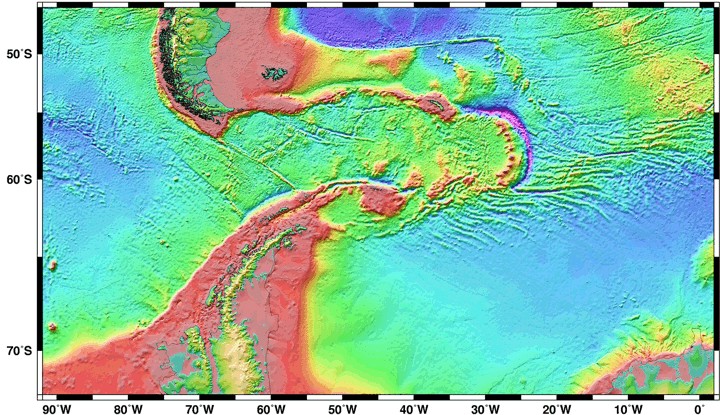
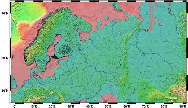
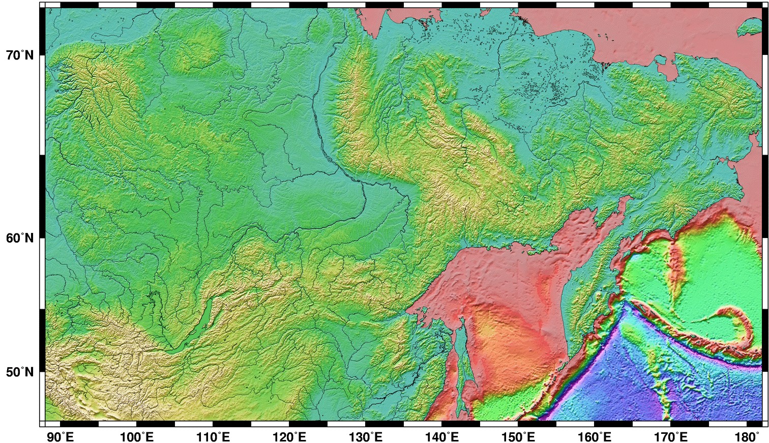
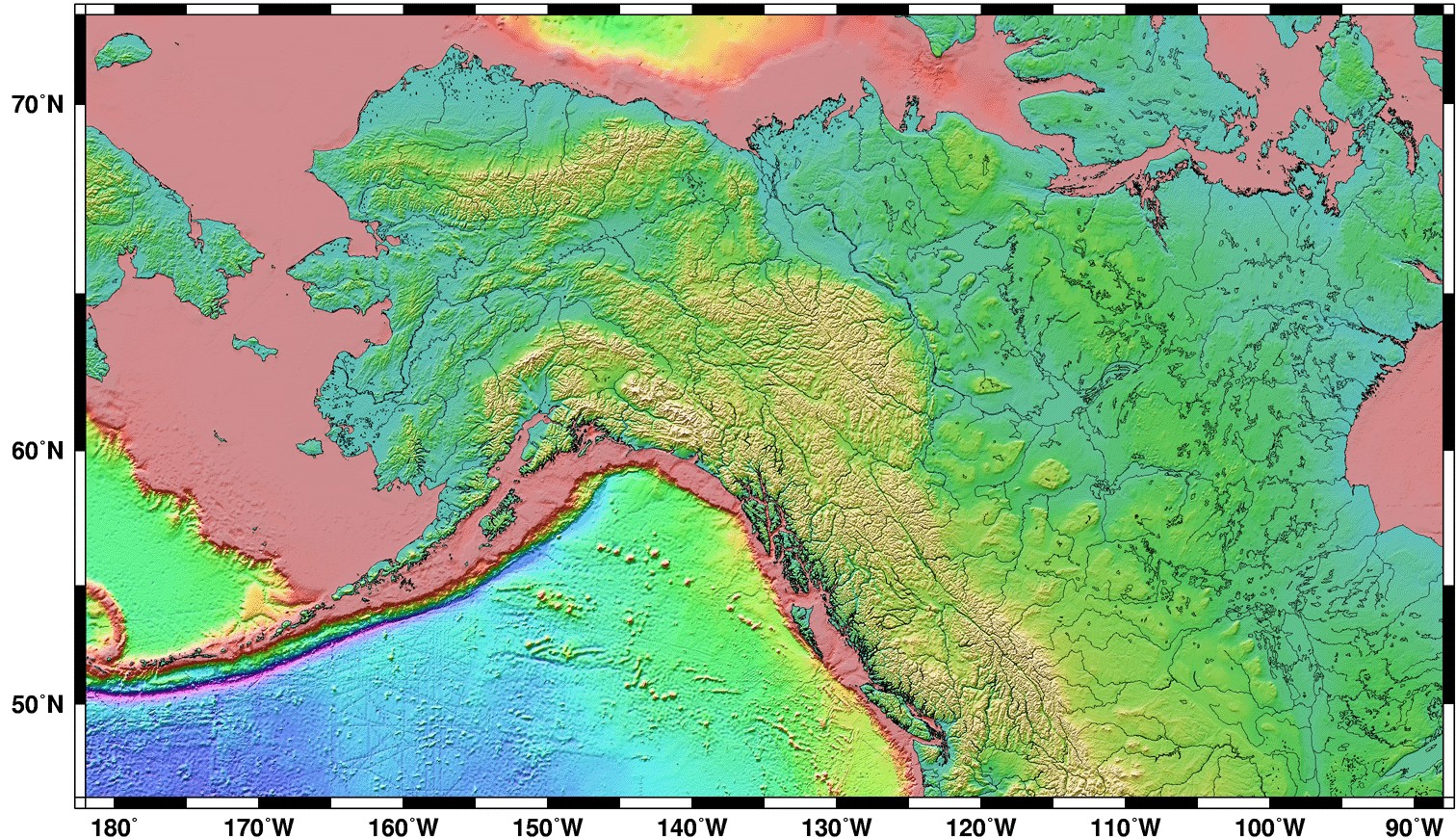
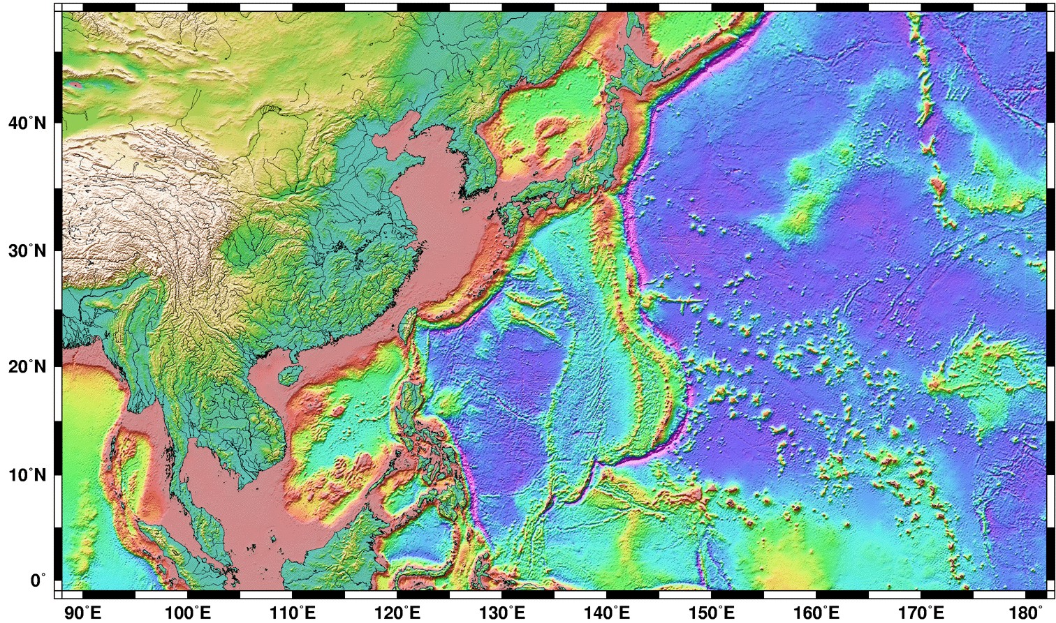
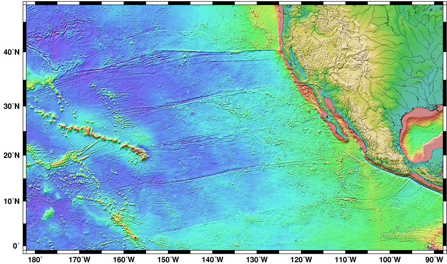
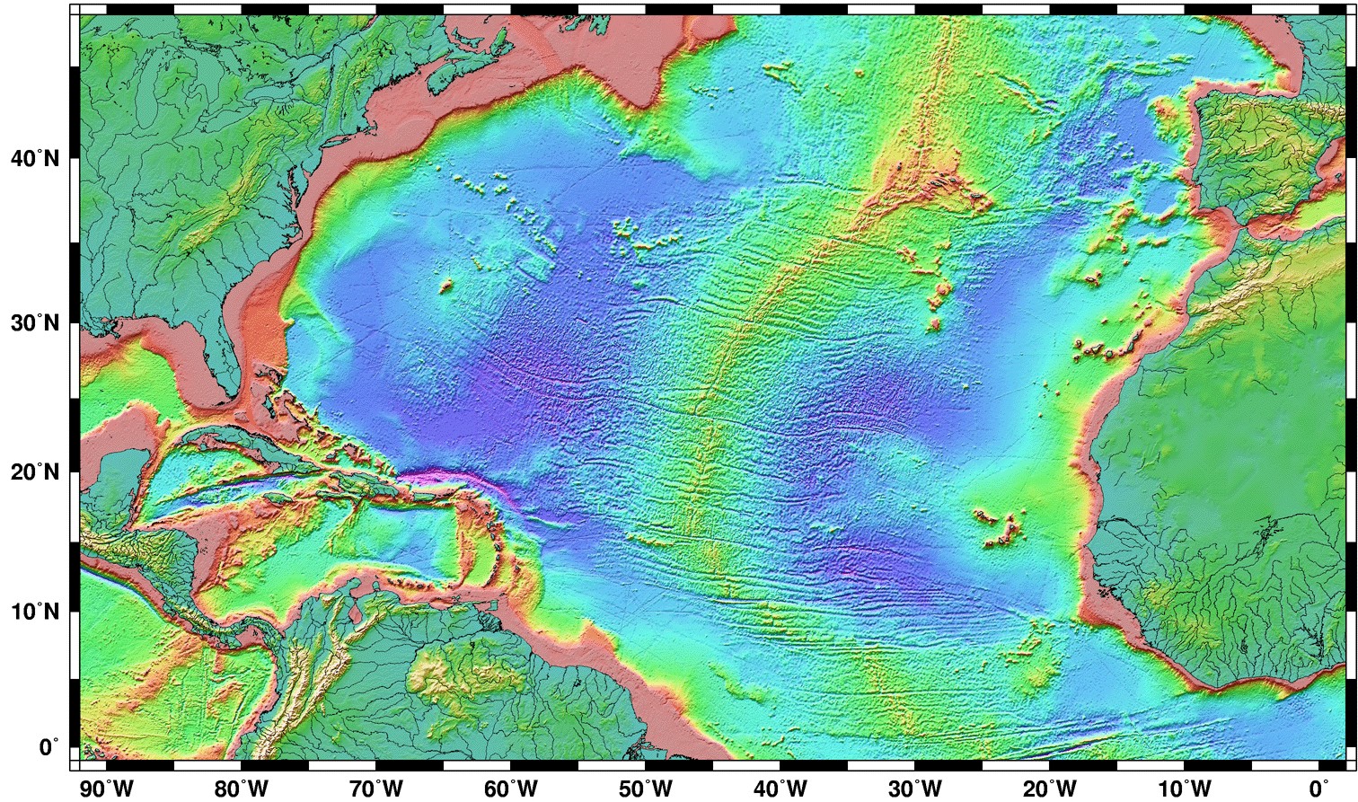
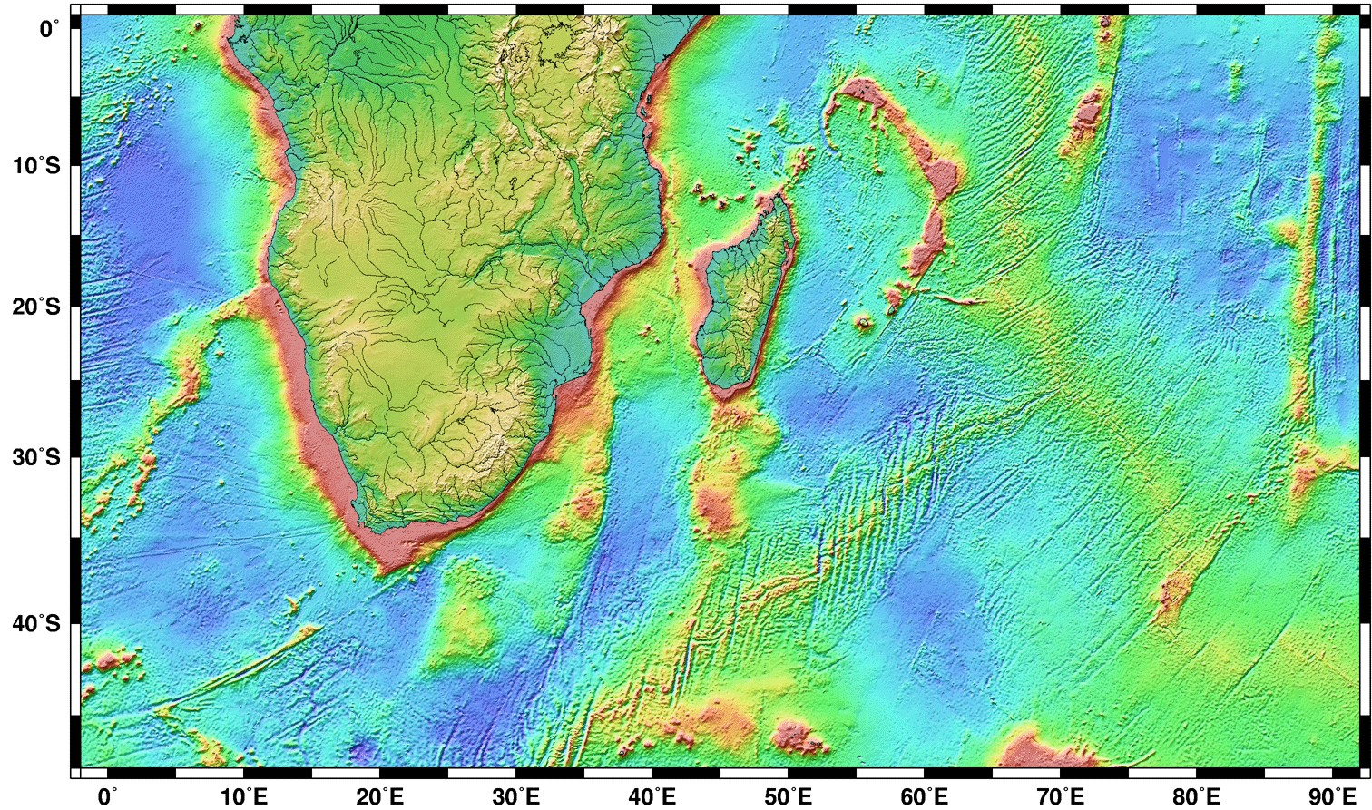
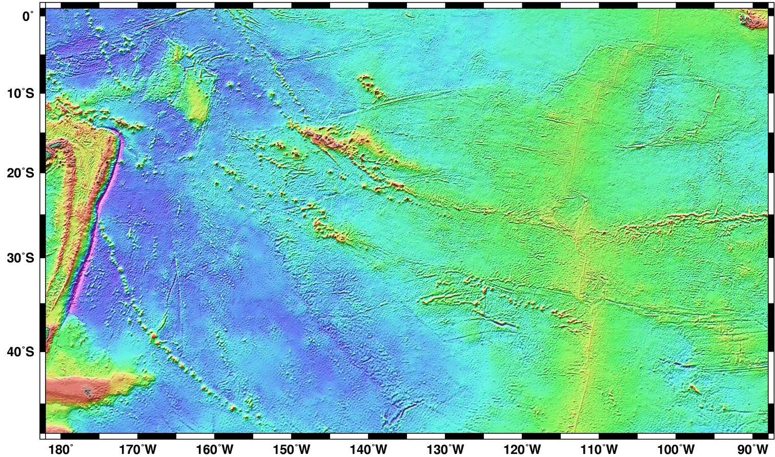
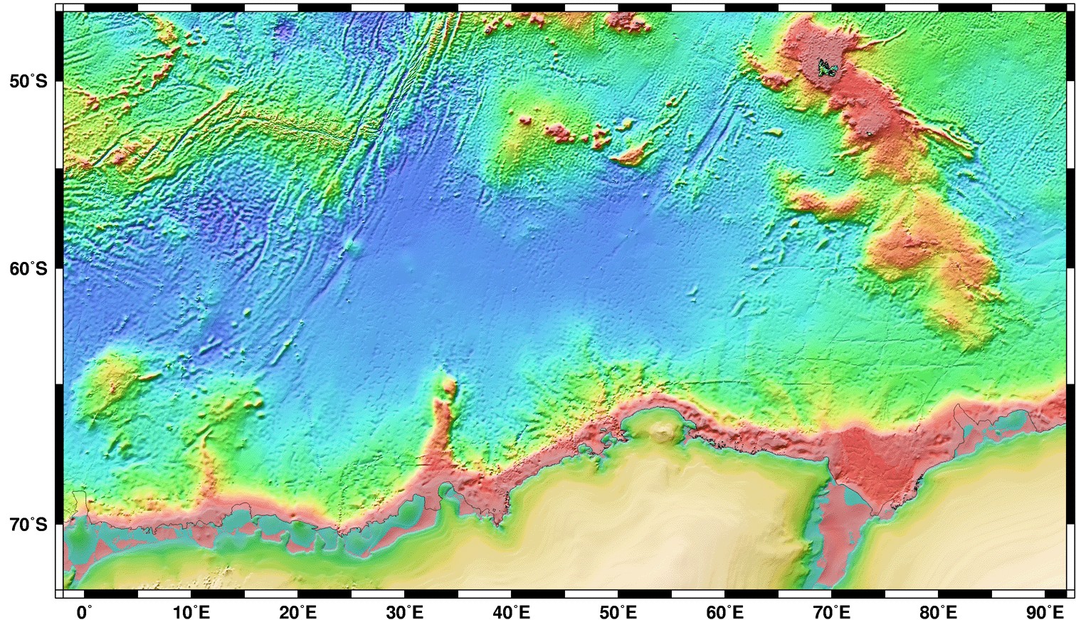
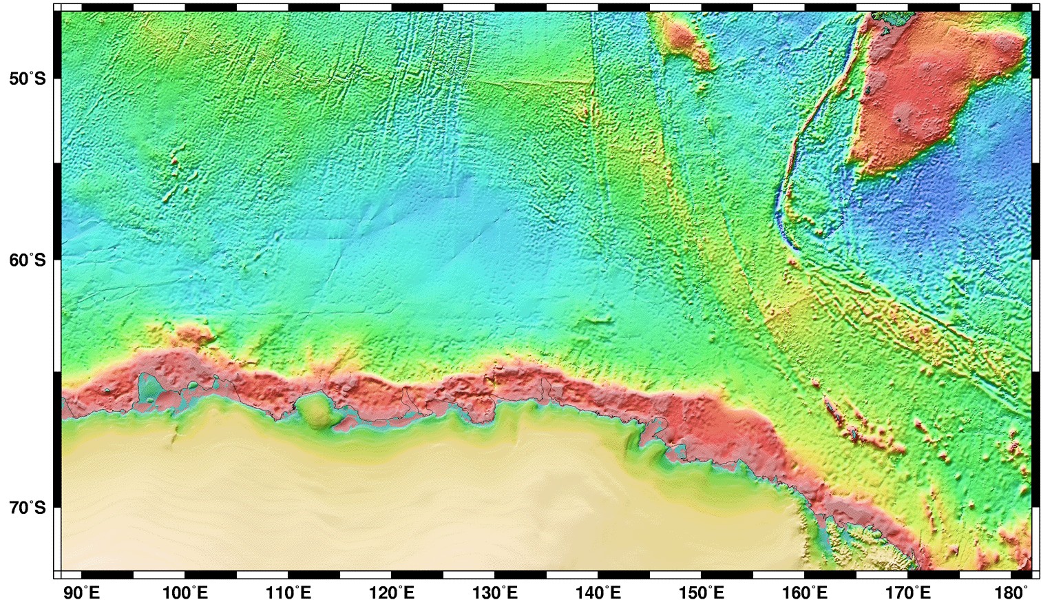
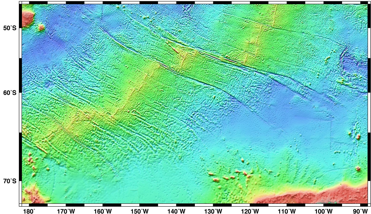
Index to World Topographic / Bathymetric Maps
Use these as a reference for the Ocean Features Map Exercise
Click on a thumbnail map below to view a medium resolution map image
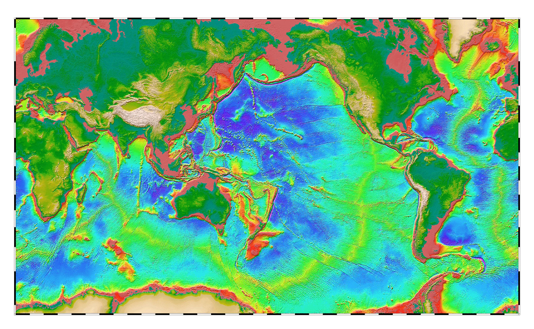
Global topography & bathymetry (all of the above together as one map)
OR, view and download a higher resolution version of each map (each map about 700 kb) :
The original maps were produced by David Sandwell of Scripps Institution of Oceanography and Walter Smith of NOAA's Geosciences Laboratory.
Link
to
the original maps:
http://topex.ucsd.edu/marine_topo/mar_topo.html
and an informative discussion about the making of the maps:
Exploring
The Ocean Basins With Satellite Altimeter Data
at http://topex.ucsd.edu/marine_grav/explore_grav.html