View PDFs of the Holts Landing 2011 resisitivty fence diagrams
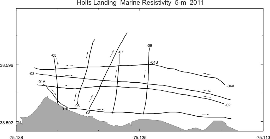
Trackline map for HLT5 resistivity lines (collected using the cable with 5-m electrode spacing)
Fence diagram HLT5 West (generally in front of Holts Landing State Park; west of longitude 75.125)
Fence diagram HLT5 West N-S, the lines running north-south
Fence diagram HLT5 East (east of longitude75.125, or UTM E 489 114 m)
Zip file with
all the JPGs of the individual resistivity profiles with UTM coordinates
(all of the lines were processed with the same scale
for contouring the resistivity values)
The resistivity profiles collected with the 1.5-m cable are still being processed; should appear soon.
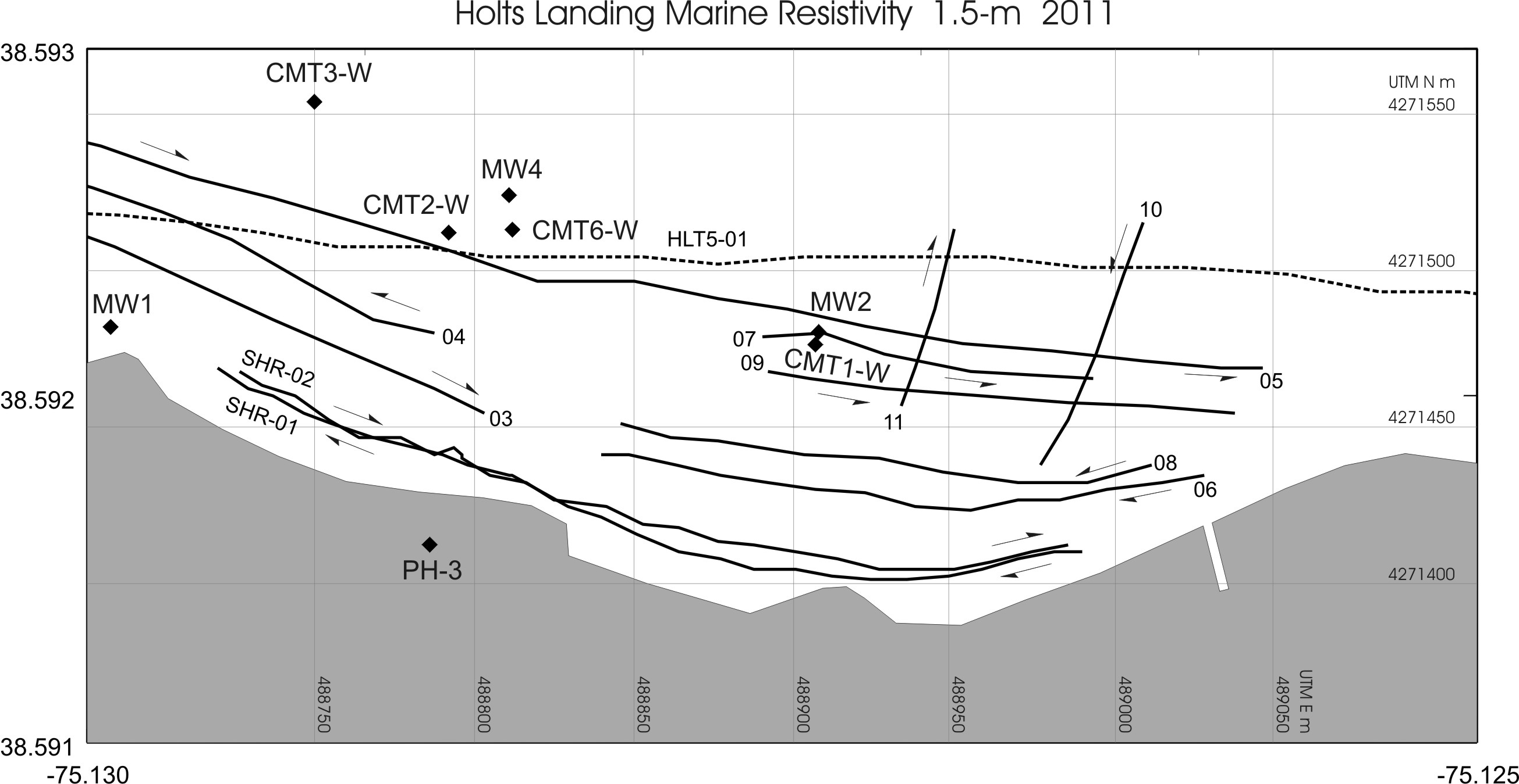
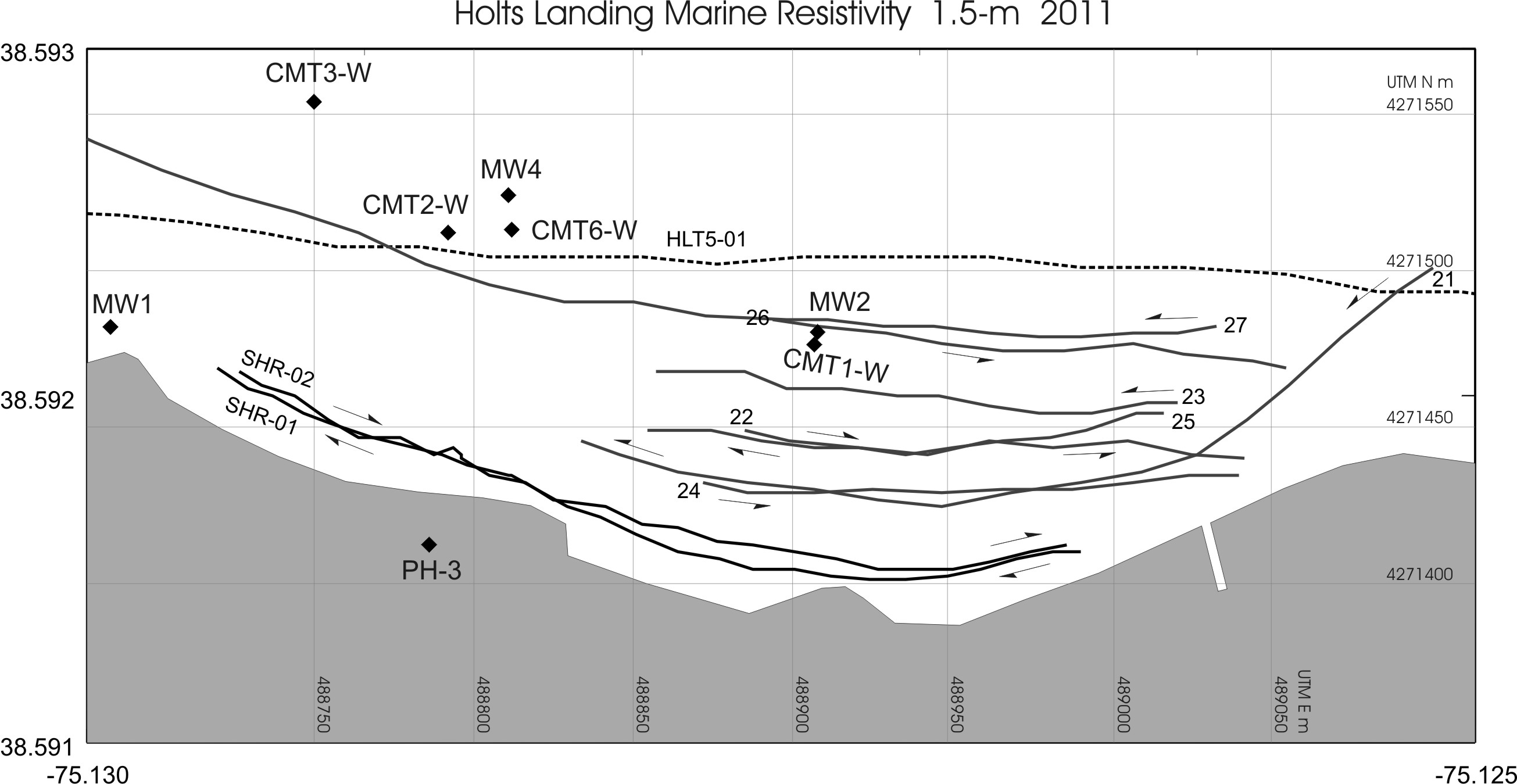
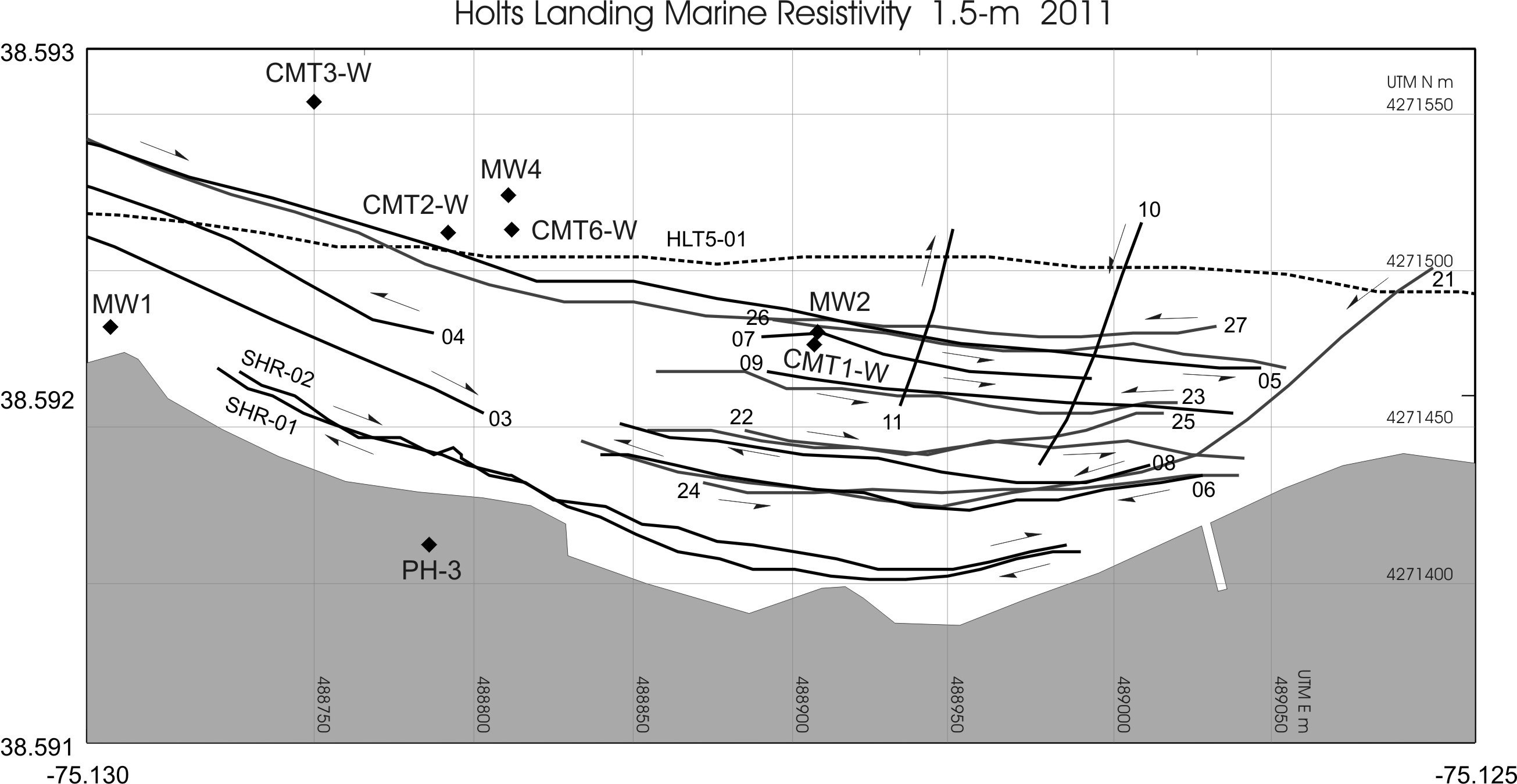
Trackline
maps for the HLT 1.5 m resistivity lines
Lines 05-11 east of the
fishing pier
Lines 21-27 east of the
fishing pier
All lines (plotted
together) east of the fishing pier
Fence diagram HLT1.5 Lines 21-27 (PDF file 4.8 MB)
Zip file for Lines 21-27 with all the JPGs of the individual HLT 1.5 m resistivity profiles with UTM coordinates